88 miles in 7:15. I just had another one of those perfect riding days . The weather was warm, but not hot, the wind was not a factor, the descent was pretty significant, even though there were lots of rollers, the scenery was great, and the Sunday traffic was tolerable. The first 25 miles of the trip were once again on I-40. The shoulder once again was bumpy and dirty in places, but six miles of the trip were descending at a six % grade, which means I was rolling between 20-35 mph, topping out at over 38. Great fun! Exit 139 began the trip on Route 66 which is separate from I-40. It was 17 miles of rolling meadow to the town of Seligman. Rt. 66 on this stretch was red asphalt under two or three layers of newer asphalt and it really felt like it was old and historical. There were no buildings left from the old days, but you could see the old road on both shoulders. It usually three lanes, with alternating passing lanes on the hills, even though only two lanes were currently maintained. The thing I noticed the most though, was the trash on the side of the road that was different than normal. There were very few aluminum beer and pop cans like you normally see, but there were lots of old, rusty metal and tin cans. There were no labels of course, but I could see the old style pop tops, and there were old oil cans that you had to stab with an oil spout. Remember those? According to my extensive research on the history of the beer can, aluminum cans were introduced in 1958. The non detachable top was introduced in 1975. The cans I saw were probably laying along the side of the road since that time frame, and they still weren't totally rusted away.

 |
| There are train tracks again, and boy do they have alot of traffic! |
 |
| Trains were going both ways |
This stretch of road also had the old Burma Shave sign series, where they would post a series of five signs along the road and poetically deliver a message, such as " if you drive " " a mile a minute" " there really is" " no future in it". " Burma Shave" Remember them?!
 |
| Hope you will enjoy all of the Burma Shave signs! |


Once I got to Seligman, I found another historical " Route 66" town. Lots of old cars, old buildings, manikins in ditty boppers, etc. I stopped and had an ice cream cone at a cool place, but the prices were different than the 60's! As I rode out of that town, I went past one huge mountain, then proceeded through a seventeen mile stretch where I did not go around any type of curve, nor did elevation change. It was a huge meadow that absolutely swallowed me up in its immensity. There were mountains off to my left and right, but they were way off. The history of rt 66 was traded for a wildlife adventure. I counted 37 prairie dogs, and saw hundreds of prairie dog holes along the road. They are quick little guys, some being very skittish, while others just sat up on their haunches and looked at me. I saw many running from hole to hole, and actually got one or two to pose for pictures! I also saw my first real legit snake of the trip. It was on the road, alive, and it looked like about a 3-4 ft copperhead. It also posed for a picture.
 |
| No comment! |
 |
| This place had a little of everything! |
 |
| Yum! |
 |
| You will see lots of pictures of lots of old cars! |
 |
| Going back in time |
 |
| More trains passing by me |
 |
| Okay Tirzah, study and report. What kind of snake is this? I do know it's not a rattlesnake. |
 |
| Check out the prairie dog (he turned his back) |
 |
| Okay, so Mike got mad at me cause I didn't post his other prairie dog photos, so here they are! Get out your magnifying glass!!! |
 |
| I can't find it, can you?!! |
 |
| A long time ago, my buddy Barry and I drove across the country in one of these (only it was orange)! |
 |
Self portrait
Getting my kicks on route 66! |


I had a pretty good climb to finally get out of the meadow, and the third distinct phase of he trip was on the Hualapai Indian Reservation. I went through a town on the reservation called Peach Springs. They had their own police force, I saw the juvenile detention center complete with barbed wire, and also checked out the high school. They had a red cinder track, which is the first cinder track I've seen in a LONG time. The only weird thing was that the only people I saw were as white as me, including a cop. I wasn't expecting that. I also noticed a large amount of broken glass on the shoulders. I spent most of my time riding in the road because the Indians don't drink out of aluminum cans, but bottles. It was amazing how many quarts I saw on the sides of the road. As soon as I got out of the reservation, the broken glass and bottles were reduced to the normal levels. Also, I noticed that the Indians don't mind being called Indians. Everything that I saw that mentioned the reservation said " Indian". No where did anything mention Native Americans. I think that whole" Native American" stuff was invented by the same politically correct yahoos who call garbage men "sanitation engineers".

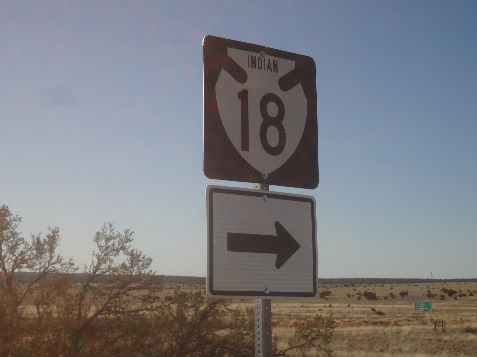
 |
| Note it doesn't say Arizona 18 but Indian 18! |
Pam picked me up about 35-40 miles from Kingman as I was once again running out of time and daylight, but the legs feel great, and I could have given the whole 125 miles a shot. I think the drop in elevation made a huge difference, as we are down to about 4200 ft now. It got pretty warm, but I stayed well hydrated, and wasn't bothered by the heat either. The big news today was that Phoenix hit 100 degrees today for the first time this year, and its only 150 miles away. We are also only 50 miles from the Mojave Desert, so I have a feeling that we are going from winter last week, to summer this week.
Time for Pam's 2 cents!! On my drive from Williams to Kingman, I stayed on I-40 since I wasn't sure what I would find on old route 66. In hind site, I would probably go on 66 since the road itself was smoother! It's a longer trip, but road surface is better and scenery is way better. BUT! I did see a beautiful bald eagle soaring along as I drove by a small lake outside of Flagstaff!
If you are driving a motorhome on I-40, you should know that the stretch from Flagstaff to Kingman is the WORST interstate I have ever driven on! The road is so chewed up that it seems like a back road in Pittsburgh after a hard winter! Seriously? This is an interstate it should be better than this! Even my lovely new motorhome with an air ride was shaking and shifting on the road!