Mesa to Pitt 2015

Mesa to Pitt 2015
Mesa to OBX

Saturday, September 28, 2013

Road trip to Mt St Helens Sept 27

Pam -The motor home was getting a new step motor and it was a rainy day, so we decided to stay in our campsite and make a road trip to Mt St Helens.  We each have our memories of the 1980 eruption, but we really didn't know what to expect. We did learn that MSH was not a volcano like the ones in Hawaii, which spew lots of lava out the top.  Instead, MSH had a side blast and damaged everything with 300+mph winds, mudslides and pumice. We are going to share our experience with you via our pictures.


Yup!  It's foggy again!!!  Looking down into Toutle Valley - this valley took the mudslides, pumice and ash.  The light green area is new growth.  The gray area near the top is the old riverbed that was filled with ash, etc.  The river is just a small sliver now.

Another view of Toutle Valley and river

It was freezing here!  Look behind Mike at the thick fog

A big part of the devastation came from the blast as the side of the volcano blew out.  They say the superheated winds were 300+ mph.  The blast snapped all the trees for 17 miles out from ground zero!  The trees you see in the picture are new growth since 1980.

Alot of the trees were removed, but there are still many on the ground.  The ground is a gray color left from the volcano mud, pumice and ash.

The road, visitor's centers and pull outs were newly built after the volcano changed the landscape.

View from the Johnston Ridge Observatory.  This is the fancy name for the visitor's center that is at ground zero.  This center looks out into the crater of the volcano.  We couldn't see the top of Mt St Helen due to the rain and fog.  Mike took alot of pictures as the fog shifted, so hopefully you can see something!  The observatory is actually 5 miles from the volcano on a cliff, but the view is incredible!  Johnston Ridge Observatory is named for the geologist who was monitoring the volcano at that very spot when MSH blew.  He was vaporized.

The mudslide from the volcano traveled across this valley, up the mountainside, down the next valley and up the next mountain!  

Fog is lifting, but not enough to show the top of the volcano

Looking to the left of MSH

All this land was stripped to bedrock, then covered with mud, ash and pumice.  After 33 years, Mother Nature is struggling to make the land green again.

Weather report for MSH - the weather report for where we are staying in 4-8 inches over the weekend!

Since I wasn't cold enough, I had to pose at the Observatory!

Every where you look, there is fallen timber still laying around.

This is the Toutle River.  This picture shows you the layers of mud, pumice, ash and logs.  After the eruption, the river was totally blocked and filled with junk.  The river eventually started to erode it's way down thru the layers.

A day or so after the eruption, so much sediment and ash washed down the Toutle to the Columbia River that they stopped river traffic because the Columbia went from 40' deep to 15' deep!!!  Since then, a special dam has been built on the Toutle to filter out the sediment that is still flowing!

The trees on the left are Noble Fir trees - they have a very different type of branch that is dark green close to the tree and light green near the ends of the branch.  The pictures don't do them justice, but in person, the hillside looks like a 3D picture!  It was crazy!  Along the road to the volcano, there were areas with different types of trees (Douglas Fir, Noble Fir, etc) planted in 1982 and later to replace the trees destroyed in 1980. 

On our way home, Mike decided to look for Bigfoot......

And then he found him!
After a hard day of sightseeing, we stopped at a place called RibEye and Mike had himself a huge prime rib!
After listening to weather reports for the weekend, we have decided to stay in place for the weekend.  Hopefully it won't rain too hard on Monday when Mike resumes his pedaling!!!

Centralia, Washington to Ranier, Oregon Sept 26

59.5 miles in 4:59.....September  26.....today was the gem of the last two weeks, and with 2-3 inches of rain forecast for the next four days, it's the only gem we are going to get. The temps were still in the mid fifties when I rolled out, but the warmth of the dun can make 64 feel pretty good. I got on the weather channel maps and figured out a way to get down the I-5 corridor without the interstate travel, and it worked out pretty well for just winging it. I spent the first 8-10 miles working my way through the cities of Centralia and Chehalis, which are medium size towns, but not big enough to have all the malls and big box stores of bigger cities. I rode through two downtown areas and a lot of residential areas that gradually gave way to country living and some farming. Cows mixed in with cabbage and lettuce fields, the corn stalks say that the corn is still sweet, and some pumpkin and squash fields are ready for harvest. Many people were out cutting their grass since today is the only dry day of last week and next week combined. Y'all know how I love the smell of freshly cut grass, especially when someone else is cutting it! I passed some interesting sights that I took pictures of, and passed through several small towns in Mt. St. Helens country. I couldn't see any damage from that eruption of 1980, but there are some areas that Pam and I would like to explore where damage is still evident. Towns like Toledo, Livingston, Castle Rock, and Kelso made for some interesting riding, without being too congested. The route was split into four segments, including the populated areas early in the ride, Jackson Highway, which was equipped with nice shoulders and little traffic, Barmes Road which was almost rain forest  like and took me through a couple of state parks, and Washington 411, which was very undulating with  very random shoulder widths from 3inches to 6 ft, and increasing traffic as it got later in the day.
The sun stayed with me for the first three hours of the ride, then an ominous gray cloud swallowed the sun like an eclipse, and I even had five minutes of rain, just in case I had forgotten what it was like. 
When I got into the biggest town of the day, Kelso, I followed a river through an industrial area which led me to the Columbia River, and acres and acres of stored logs, getting ready to go to China, probably. 
Somewhere during my ride Pam contacted me and told me she wouldn't be following me as planned, because a motor went bad on the step at our door. She spent the day getting that ordered, to be installed tomorrow, so she came in the Jeep, and after some wrong directions, picked me up on US 30, in Oregon. I went across the Lewis and Clark Bridge over the Columbia River, which is the state border.  As I waited for her, I watched ocean freighters go up and down the river, trains, trucks, cranes, and a very busy port on both sides of the water. By the time we got home it was dark, with the sun going down a little after 7 PM now. So, we are spending the night again in Centralia, and what happens tomorrow will be dependant on a repaired step motor, and the impending monsoons.

This area is filled with Christmas tree farms.  And they are all perfect trees!

This guy had three awesome wood carvings in his yard.


Mountain lion and bear

Mountain lion close up - check out the eyes!


Jackson's cabin


For all the ladies!

No weak women here!

Parked on someone's lot!

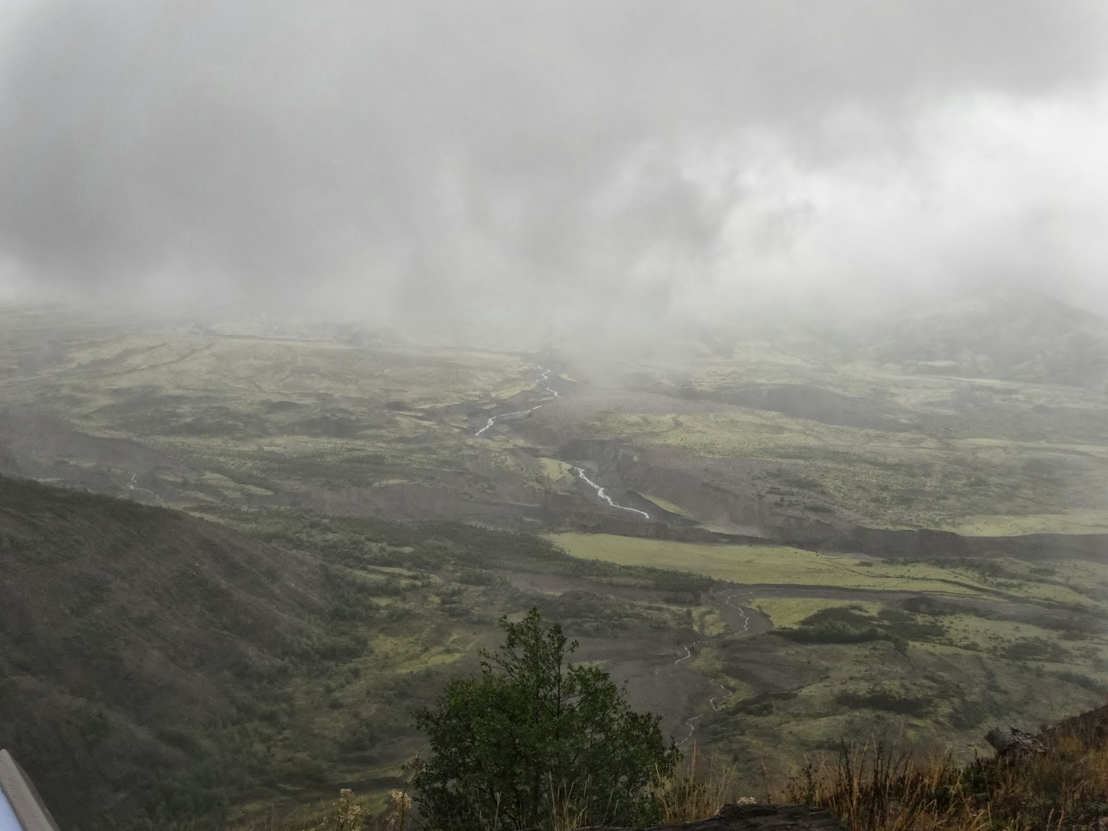
This is a wall of green moss!  Around here all the rocks and concrete bridge walls are covered with moss.


Going across the Lewis and Clark bridge

Looking down from the L&C bridge - these are piles  and piles of logs!


Lewis and Clark bridge

Washington is filled with all these little espresso/coffee shops.

Sign at a gas station.  Everything is legal in Washington!

Hoquiam, Washington to Centralia, Washington Sept 25

53.7 miles in 4:36.......I started out this morning with, get this..... Sunshine! It was 53 degrees, but the sun was shining. It felt good, and was good for the soul, but it lasted less than a half an hour before the heavy gray clouds took over. I rode US 101 for about six miles through Hoquiam, and the neighboring city of Aberdeen. Just outside of town, US101 headed south, but I stayed on US12 to head a little inland. The town of Centralia has a lab associated with the hospital that did the surgeries on my kidneys, and I need to do follow up urine and blood tests. This is my last chance to find out a few things, so it's worth going out of my way a little to get these results. Also, going over to the I-5 corridor, gives us access to Mt Rainier National Park and Mt St Helens Monument, which we wanted to check out, at least a little.
US12 toward Olympia was like a freeway. The whole trip was flat for the most part, which helped some with tired legs, and the shoulders were dirty with potential tire flatteners, but it was a decent ride. Traffic was pretty heavy, and my biggest complaint is the narrow bridges, even on main roads. The shoulder totally disappears with traffic going 65 mph, and  I had to find a gap and pedal my butt off across every one of them. The clouds stayed, and the temps dropped as I rode, from briefly touching 60 down to about 53 by the time I was done. Once I turned southwest on US12, and got off the main road to Olympia, traffic calmed, but there were always logging trucks, mulch trucks, lumber trucks, plywood trucks, and any other kind of truck related to the forest industry around here. I found a few back roads that I needed to take to stay off of I-5, and ended up my trip in time to do a little Jeep ride with Pam to Mt Rainier National Park. It was about an hour away, and we got there to find fog, light rain, and cooler temps in the mountains. The road was lined with absolutely huge pines on both sides of the road,  which made the area much darker than it should have been. As we traveled through the park, we began rapid ascent, as the road turned very curved, and contained many switchbacks. By 3500 ft, we were in a pretty serious fog that blocked most of the view. We were following a glacier fed stream, which was really big, but had very little water in it, just huge river rocks and logs left from spring run offs. By the time we got to the visitors center at 5500 ft, we were in a cloud, and couldn't see a thing. I took some great pictures though! There were a few other people around, but we pretty much had the park to ourselves. We are currently forecasted to have this areas coldest snap of the year, so people are staying away from the park. Snow-mix was forecast for 5000 ft and up in elevation, and it felt like it. I don't know how many days of the year you can actually see Mt Rainier, but my guess is that there are not many clear days this time of year.

View from a bridge in Aberdeen

One of the many types of drawbridges in Aberdeen

Sidewalk that Mike had to ride on!  Sign said all pedestrians and bicyclists MUST ride on sidewalk!

There is a serious battle going on up here on the Olympic Peninsula with the term "Wild Olympics" being used.  The government wants to expand the wilderness and national park area.  One side says yes, and the other side says no because there will be a loss in lumber jobs.

Cool drawbridge in background.  In foreground is huge tree carving.

Close up of tree carving.

Marijuana store!  Remember this is Washington!

"Battle signs"!

Entrance to Mt. Rainer


Sightseeing "car"  
River bed filled with river rock - but it's rolling in the spring

Fog is rolling in

Pam admiring the view!  HA HA!

Up at the top visitors center.  Pam's pointing at Mt. Rainier - can you see it?  She can't either!

Visitor's center