May 5.....36.03 miles in 3:23.....Woke up to the cold and drying up rain left over from last night. Heavy clouds filled the sky, and a chilly headwind out of the northeast made me want to stay in bed. But I didn't. A short ride was planned for today, because campgrounds were either 35 or 95 miles away. Easy choice, with my beat-up-more-than-they-should-be legs and the crappy weather. Warm weather is on the way tomorrow, and maybe fresher legs will get me rolling.
That last stretch on WV 2 last night was absolutely terrible, so I expected more of the same, but I was delighted when I actually had a two foot shoulder when I made my left onto WV 2 north. It was a bit dirty, but I had a place to avoid the mildly heavy traffic that I encountered. I was absolutely giddy when the shoulder widened even more for a stretch. Just when I thought 'hey, this is going to be alright', I left Cabell County and entered Mason County, which has much more beat up roads, not as recently upgraded, and no shoulder. Not only that, the road was filled with potholes and loose asphalt that absolutely sucked. Truck traffic was picking up as the day went on, and a few times I pulled into driveways just to let a truck and a line of traffic go by. The entire stretch of today's ride was populated on the right side of the road, away from the Ohio River, which I was following. The left side of the road, nearer to the river, contained a lot of swampland and ponds, farmland, and sometimes, I was right along side the river. Once, in the unincorporated town of Green Bottom, WV, I got off the main road and followed old rt. 2 back through the residential strip. It was narrow and very old, but at least I got a little break from traffic. There was a historical marker there that talked about a confederate general who lived there, and was the first confederate to carry a confederate flag across the river into Ohio. It also pointed out that he didn't live to enjoy his accomplishment, and he was buried in the town's cemetery. There were two mounds visible from the road, built by the Adena Indians before Christ, just like others I've seen from Kentucky all the way up to Moundsville, WV. There were several unincorporated towns, but basically very little in the way of commerce all the way to Point Pleasant, where the campground was located just outside the town's flood wall.
 |
| My "dream business" |
 |
| Mike's "dream business"!! |
 |
| Note the still on the right side of the barrel, with "moonshine" falling into the bathtub! |
 |
| The Ohio River along WV 2 |
 |
| Old Rt 2 through Green Bottom, WV |
 |
| Old Rt 2 to the right of the tracks |
 |
| An outhouse divided!!! |
 |
| My shoulder, complete with potholes |
 |
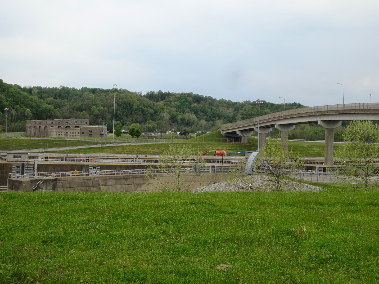
| The Robert C Byrd Locks and Dam |
 |
| We didn't see these barns painted with Mail Pouch signs anywhere else in the country |
 |
| The bridge across the the Kanawa River in Point Pleasant |
 |
| Looking at the bridge over the Ohio from the Kanawa Bridge. This bridge replaced the Silver Bridge, which collapsed in 1967, killing 46 people |
 |
| Entering Point Pleasant |
 |
| The Kanawa River |
 |
| Flood walls near our campground in Point Pleasant |


No comments:
Post a Comment