Mesa to Pitt 2015

Mesa to Pitt 2015
Mesa to OBX

Sunday, May 19, 2013

Hiking the historic railroad trail May 15

Wednesday, May 15. The day started out with plans to take the Jeep to the Hoover Dam and take a tour of the inside of the dam, as well as the power plant area. When we got there, we discovered that the tours were shut down for the day because of ... We didn't know. It seemed to be a security issue, something top secret. I bet it didn't even make the news where you are at, but after some persistent detective work, I found out what was going on. I'm not sure if I should put it on the Internet, but here goes..... The toilets were clogged!
Since the entire Hoover Dam tourist industry was thrown into disarray, we decided to go for a hike in the 98 degree weather. There is a trail near our campground that is a continuation of the trail system that I rode on yesterday, but it was dirt, rock, and gravel, made for mountain bikes and walking. It was about four miles long, through five tunnels, with its final destination being the Hoover Dam parking lot. We had a nice walk, through the mountains and tunnels, on the rail path that was used to deliver all the goods needed to build the dam. We saw two rock squirrels, which I had never seen before, and were in constant search for the elusive bighorn sheep. Didn't see one yet though. When we got to the dam, it was still closed to tours, so we had a coke, and hiked back the way we came.  8 miles round trip!
After the exercise, we thought a trip to Boulder Beach was in order, to soak in the cool Lake Meade water, and enjoy the sun and some reading time as we dried out and warmed up. There were several people there doing some swim training for a triathlon that must be coming up.
After getting our fill of the beach, it was hamburgers on the grill, and a decision to try the Hoover Dam tour again tomorrow.

Railroad trail - reading about the first tunnel.  These tunnels are bigger than normal RR tunnels because the trains needed to transport large equipment.

Looking down at the Lake Meade marina from the trail.  Before the lake filled in, this was a tent city for workers and their families.

Next tunnel!  The coolness was a welcome moment!


This is how much the water has gone down....

King of the mountain!

Cooling down on Boulder Beach

Las Vegas to Lake Meade Recreation Area May 14

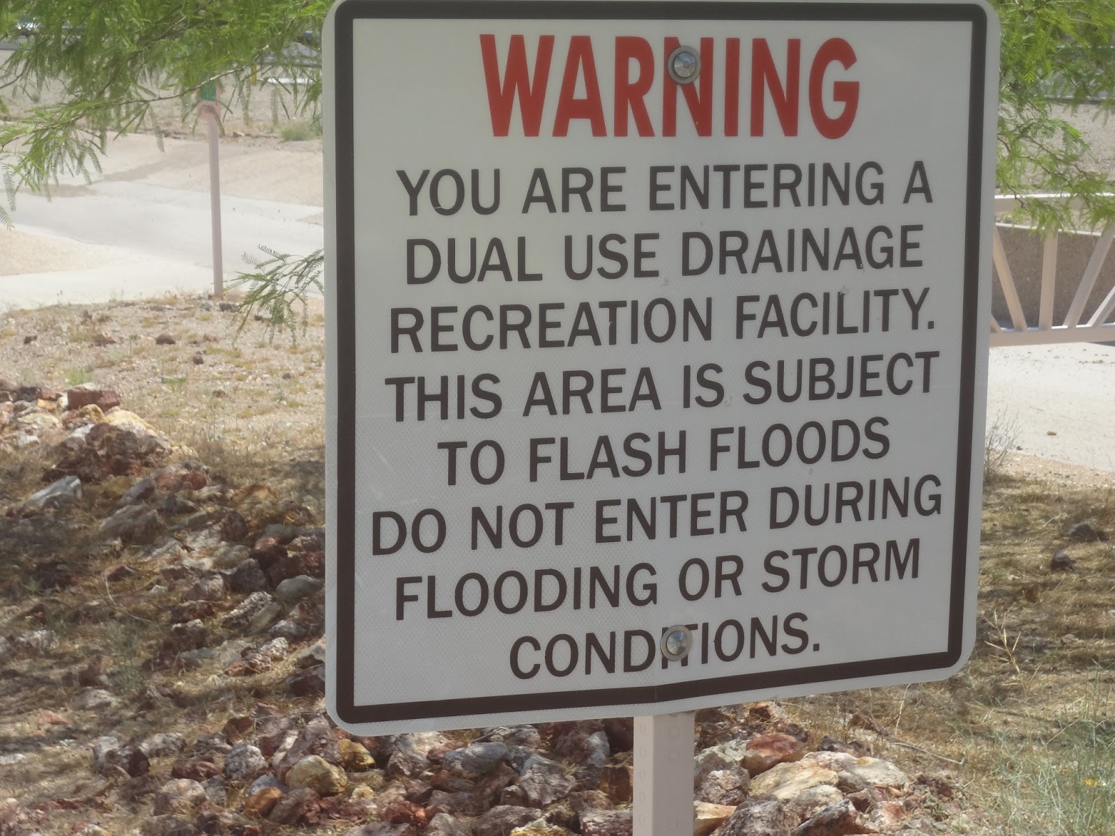
Tuesday, May 14----30 miles in 2:39-----The heat in the desert of Las Vegas (several days over 100), had me longing for cool, blue, mountain water that I saw in Lake Meade on the way into Vegas. It was a short ride(30 miles), mostly uphill, and I followed a bike path that I had noticed on the way into Vegas. The River Mountain Bike Trail started near the Vegas line with Henderson, Nevada, and followed an old railroad all the way to Lake Meade. The trail wound around some mountains, and stayed outside of Boulder City. There were parks near the trail, and many mountain bike trails of varying difficulty. The entire trail was newly paved, well maintained, and entailed many more climbs and downhills than US 93, which I rode in on, right through the heart of Boulder City. As the trail left Boulder City, there was a drainage ditch going down towards Lake Meade, that doubled as the bike trail. There was a little water in the concrete ditch/trail, but no traffic. I could have gone down through there at 40 mph if it wasn't so bumpy with expansion joints. As it got closer to the lake, the trail broke off from the ditch and began a winding path through a desert area above the lake, taking the same path as the trains that delivered supplies for the construction of the Hoover Dam during the depression. Instead of going all the way to the dam, the trail did a loop near Lake Meade, right past Lake Meade Rv park, where Pam was just pulling in as I arrived. The trail was one of the most challenging and well constructed trails I've been on. The ability to ride like a mountain biker, but on paved mountain trails was really cool.
We had time to take the Jeep over to Hoover Dam, where Pam saw it for the first time, and I was amazed by the changes created by the Pat Tillman Memorial Bridge. We walked across the dam, admiring the size and views. The water behind the dam is WAY down due to years of drought and increasing human demand. I saw several pictures comparing the water level to 1985, when Lake Meade was full. Last time I was here, in 1968, it was full also. The tour of the guts of the dam was sold out for the day, so it was off to the beach!
Well, sort of. Boulder Beach is an area where you can drive right down to the waters edge, through a huge field filled with rocks, that used to be under water. The temperature was 103 degrees, the wind was picking up, and it was just as hot. Lake Meade water is snow melt runoff, so the water is cold under any conditions, but it still felt great. It was very clear, but fishy smelling. We were in and out of the water many times, taking small doses of cryotherapy, when we weren't getting blasted by dusty, desert air. Overall, the experience was enjoyable, and the freezing body parts, was offset by the beautiful scenery of multicolored mountains and blue waters.

On the road and leaving Las Vegas and it's 103 degrees!


Drainage ditch/bike trail


Information about the changing of Lake Meade water level.

Tunnel on my trail

Because you are riding your bike when it's 103 outside and you're in the Mojave Desert!!

Hoover Dam

Overflow tunnel - obviously not in use now!


Looking down from the dam at the power plant.

Road that goes across the dam


In memory of those who died making Hoover Dam

Looking over at the new Pat Tillman bridge that keeps traffic off of the dam

Looking out at Lake Mead - the white on the mountains is what is exposed from the lake level going down.


Hoover Dam


Las Vegas to Red Rock Canyon and back

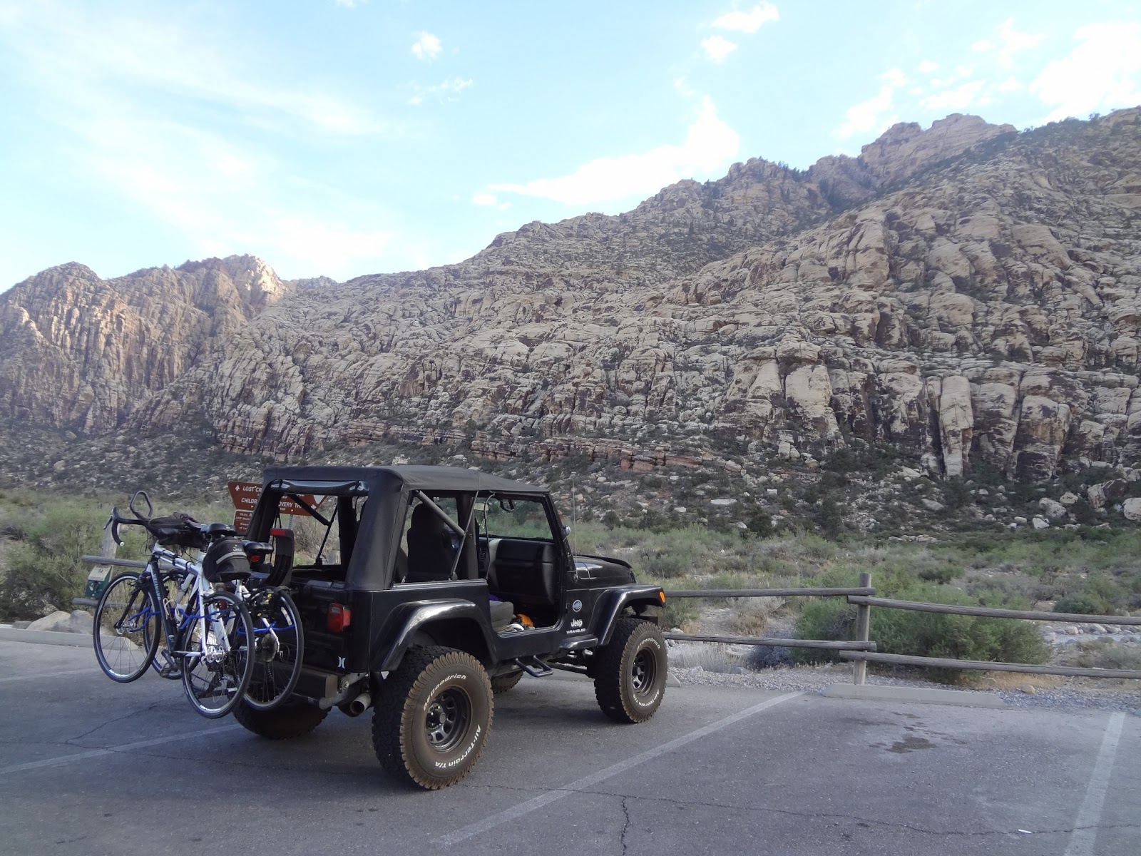
Saturday May 11--- 65 miles in 5:00. The day started out hot, it may have hit 100, but I think the humidity was about 5%. That type of heat really doesn't seem to bother me, or affect my riding until I am totally dehydrated, without even knowing it. You just cannot drink enough water, no matter how hard you try. When Buddy was here running a track meet a few years ago, he told us about how beautiful Red Rock Canyon was. He was right, it is definitely a "must see". The riding in the area is as good as anywhere I've ever been. The elevation changes are sometimes severe, but gradual. The roads around Las Vegas, and out to the canyon are smooth and the shoulders wide. Bikers can ride in bus lanes on the main roads with few conflicts, even though the roads are busy, cars stay out of them. My trip started on the east end of Vegas, at Arizona Charlie's RV park, and I followed Flamingo Ave. all the way across town, including across Vegas Blvd, with heavy traffic, but no problems. I was told half of the drivers in Vegas are drunk by several people, but so far no signs of that at all. I think we are camping at the lowest elevation in the valley, because I climbed steadily all through town, and especially out through the suburbs towards the mountains to the west of town. I had climbed 2000 ft before I even got to the real mountains. The suburbs of Vegas are beautiful, their newness speaking to how fast the area is growing. There are some manicured grass lawns, but decorative stone lawns seem to be the rule. Every single shrub and tree is irrigated however, or it would fry, because we are on the edge of the Mojave Desert. Once I got out of the furthest suburbs, it was about five miles to the park, then another three to the visitors center. It was a 23 miles ride to the visitor center, where a beautiful 13 mile loop begins. The loop is pretty heavily traveled by cars, but it is all one way, two lane road, which makes it plenty wide enough for the bikers, of which I saw plenty. The first five miles of the loop climbs about 1800 feet to a total of about 4850, then it really drops fast. The red and white colored mountains on the beginning of the loop, are totally different from the mountains on the back side of the loop. The red rocks are some of the most popular climbing walls in the world. The other mountains are creviced, and Pam said some of the formations reminded her if a pipe organ. The colors were totally different also. After I rode the loop, I met Pam, who came out in the Jeep, and we drove the loop, stopping at several areas to hike. We hiked the Lost Creek Trail, which Buddy had told us about. When he was there in the month of March, a waterfall was one of his favorite sights. When we were there, the waterfall was totally dried up. After hiking and checking out the visitor center, Pam dropped me off for the downhill ride back to the campground. The ride back was quick as promised, on a different route, Charleston Blvd. The day ended with a meal and some slot play at Arizona Charlie's, and a totally debilitating, drop to my knees groin cramp, from the dehydration.

Before going for a ride, Mike had to change a flat.  Guess what caused it?  A goat's head thorn!


Entrance to Red Rock Canyon


The views are spectacular that words can not capture.


Hiking back to the waterfall that Buddy told us about.  


Unfortunately, it wasn't there!


Barrel cactus