June 24----47.59 miles in 3:41. I got into the saddle late today, as we packed up the motor home and Pam took me to the entrance to Bryce Canyon, where I had left off after my ride through the canyon yesterday . After a three mile warmup into the headwind that had been predicted, I proceeded to descend, quickly into the valley that we had been looking out over from the overlooks in the park yesterday. I saw a sign that said 8% grade, and I was off to the races. The steep hill was about two miles long, and if it wasn't for the gusty headwind, I might have been able to hit 50 mph. I hit 35 without even pedaling. I couldn't have pedaled anyhow with my gearing problem, but I got some insight on that dilemma today before we left. I called Wamsleys Cycles in Morgantown West Virginia, where I bought my bike, and talked to a tech on the phone. We did some trouble shooting, and I think I know what happened. When I had my leg lock cramps in Marble Canyon, and I tipped over on the bike, I bent an aluminum plate that helps hold the derailiere onto the frame of the bike. It's not something I can fix without a special tool that bike shops are supposed to have. Hopefully, I can find one around here somewhere, maybe in Moab, which is still days away. Supposedly I won't have to buy an expensive new derailiere, and since they make a tool to fix it, I'm not the first guy to have this happen. All I've gotta do is find a shop with this magic tool.
Anyhow, within ten miles, I had descended 1600 feet into the valley, where I stopped in a beautiful little farm town called Tropic, Utah. It was a green oasis in an otherwise mountainous, rocky area. I could look up to my right and see the colorful cliffs of Bryce Canyon Park. This may be the town where a candy bar saved my life. I wasn't even hungry, but I decided to stop at the general store and get a dark chocolate Hershey bar. I was only in there for five minutes, but when I came out, there had been an accident, about a third of a mile down the road, where I would have been riding. A truck had gone off of my side of the road and into a drainage ditch. The fire trucks and cops were just showing up. If I hadn't stopped.....who knows. I think God as watching out for me. I savored the chocolate bar as I rode by and snapped a picture of my unrealized demise.
 |
| Truck in the ditch |
 |
| We think these are pens for the cattle when they are ready to load them into trucks |
I rode through a few more connected, very small towns in the next five miles, then the ascent began. Gradually at first, but relentlessly,through nondescript scenery with an occasional neat rock formation. Within 15 miles, I had gained back all 1600 ft that I descended into the valley, topped off by a one mile, 8-10% climb, that tested my willpower and leg power. I serpentined up the hill from lane to lane. Fortunately there was very little traffic, because I don't know if I could have powered all the way up without stopping. I did not stop, however, until an overlook at the top, at an area of grey mountains that was known as 'the blues' to the locals, because the sun must give the area a blue hue on a sunny day. Today, however, was as cloudy as I have seen in a long time. Cool, too. As I ascended the hill, God looked out for me again, giving me a nasty, chilly tailwind, to help push me up that hill. From there on, I had a crazy tailwind for the rest of the trip. At the top of the hill, I read a plaque, about this area being the last uncharted area in the continental USA. Until John Wesley Powell mapped it, the same guy who explored the Grand Canyon.
The next 16 miles to my final destination, I coasted downhill. I don't mean JUST coasted, I mean between 20-30 mph nonstop, with very, very little pedaling. I've never coasted that far or that fast for so long. That wind was rockin, right at my back, and I descended, once again about1600 ft or a little more into the town of Escalante. I don't have any idea why this town would be here, except for the Grand Staircase National Monument, which I had never heard of. It is a huge area, with tons of atv and Jeep trails, and intermittent colorful rocks, slot canyons, spires, and formations that people hike to.
With all the potential cool things to be explored, I checked with a local guy, and he gave me an idea for Pam and I to have a Jeep/hiking experience in the evening. We took a road called Hole In The Rock Road, for ten miles of the worst washboard road I have ever been on. It's a wonder bolts weren't falling out of the Jeep. Then we turned on Harris Wash road, which was a narrower dirt, with less washboard, but more big bouncy type obstacles in the road, including deep sandy areas as we crossed the dry wash several times. We finally came to a parking area, which we missed once, and we had to hike a cow path for about a quarter mile into the dry creek bed. The sand in the creek was so deep, it was like walking on the beach. We walked for about a mile, with beautiful red rocks narrowing in on us, until we were in a slot canyon. It was about fifteen ft wide and very high on both sides. It was the kind of place they told you not to be in a storm, because of flash flooding. We took some pictures, found a dead cow who once must have roamed the path we walked on, and headed back out. The roads didn't get any better on the way out, and if we would have turned left instead of right on Hole In The Rock road, we could have driven 57 miles of progressively worse roads, all the way to Lake Powell and the Colorado River! There is also supposed to be some fantastic hiking and scenery down that way, and I thought about doing it tomorrow, but I don't think we can torture the Jeep anymore.
 |
| Cool colors on the mountains |
 |
| Patches of green in the desert due to irriation |
 |
| Someone climbed to the very top of the mountain to plant this flag. |
 |
| And this is the mountain!!! |
 |
| Grand Staircase National Monument - Escalante |
 |
| Escalante River |
 |
| Utah 12, a national scenic byway. It is beautiful, but narrow. |
 |
| You see some strange things while on the road...... |
 |
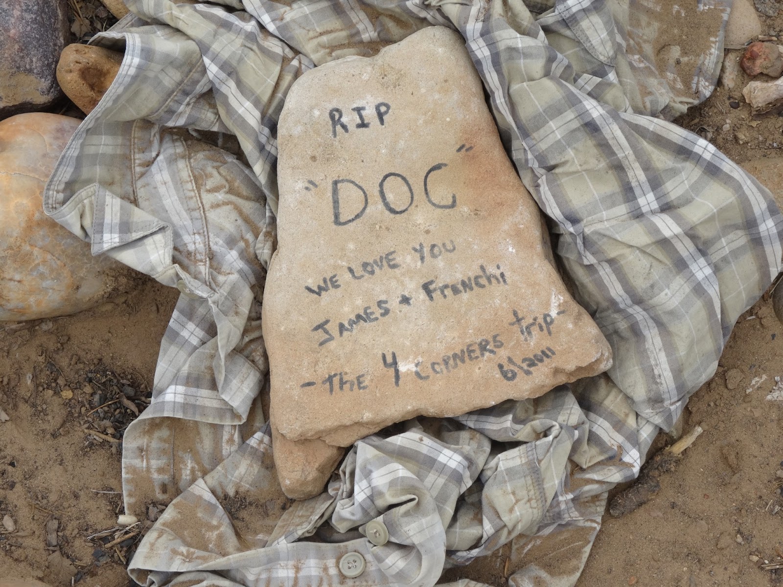
| Just your everyday view! HaHa! |
 |
| Gateway to Hole in the Rock |
 |
| Big sign for a small town! Population 200! |
 |
| We live every day under red flag warnings due to the high heat and low humidity. |
 |
| Our little adventure.... did we mention that we started on this trip at 5pm and it was cloudy? |
 |
| This was deep sand that we were hiking in - it killed my calves and knees! |


No comments:
Post a Comment